The Workshops
The workshops are designed to last for about two hours. You will get introduced to a case study of how climatic change and hazards are impacting coastal ecosystems and communities. You will also be taught about geospatial data, how it used to monitor changes on the Earth's surface, and how derive insights from these changes to understand our changing planet and inform how we adapt to climate change. The skills you learn for analysing geospatial data will be transferable to other human and environmental issues such as deforestation, agriculture, and urban planning.
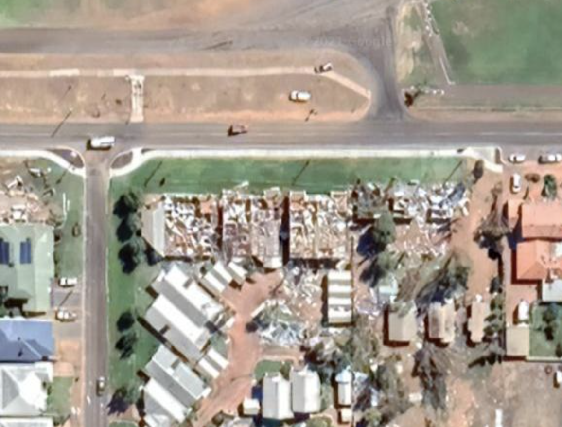
Mangrove Dieback in the Gulf of Carpentaria
Map and analyse a mangrove dieback event in the Gulf of Carpentaria.
Workshop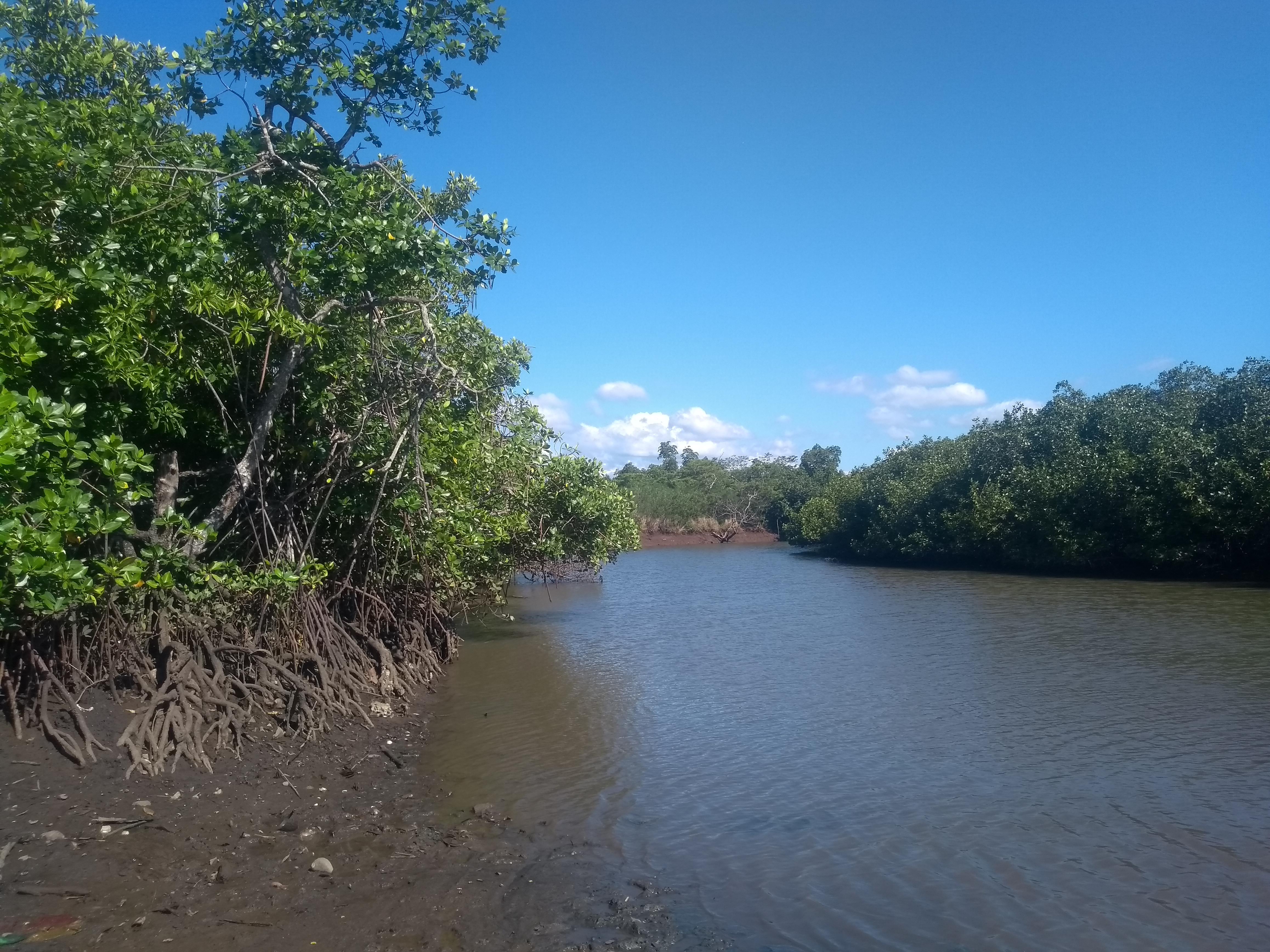
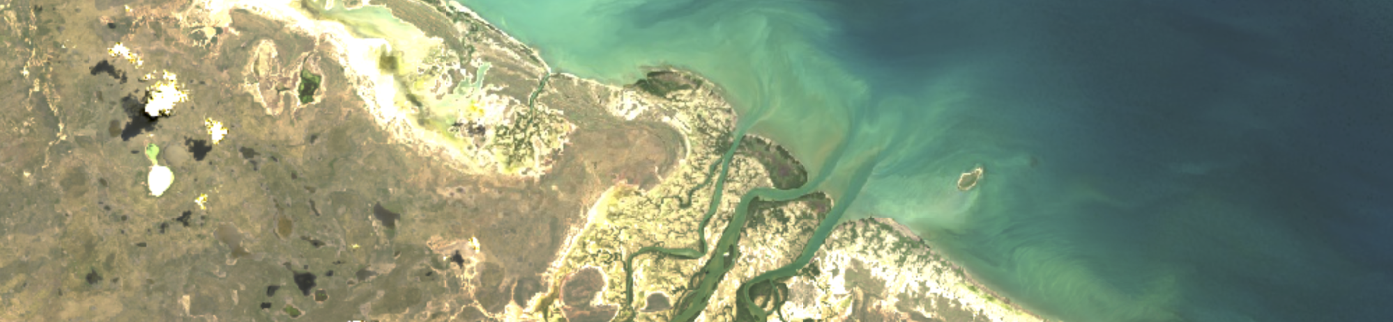
Mangroves and Livelihoods in Fiji
Use satellite images and a virtual mangrove tour in Google Earth to see how Tropical Cyclone Winston affected mangroves and livelihoods.
Workshop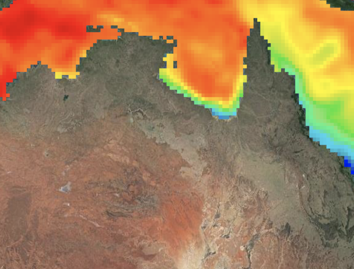
Geospatial data
Learn about geospatial data and how it can be used to monitor changes on the Earth's surface.
Workshop(Satellite images - Google Earth: Imagery ©2021 Maxar Technologies, CNES / Airbus, Map data ©2021).